
Advertisement
Click to download now, finish the installation quickly, and directly unlock the "all-round experience"
Advertisement
Screenshots
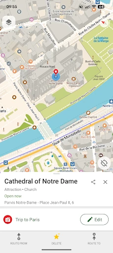
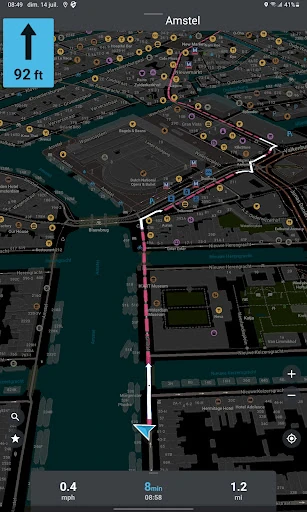
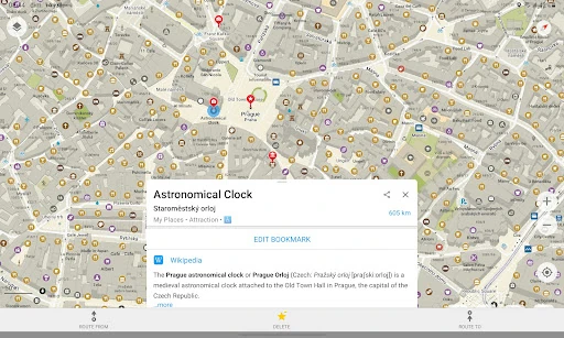
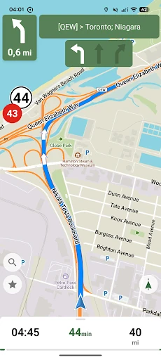
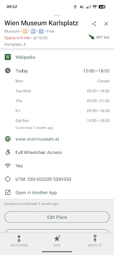
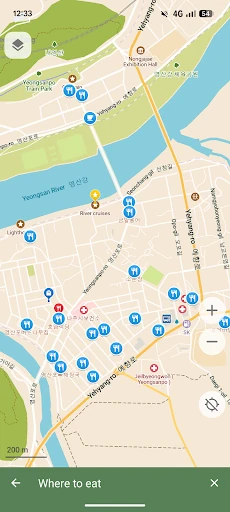
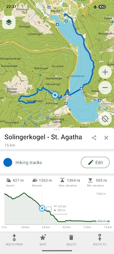
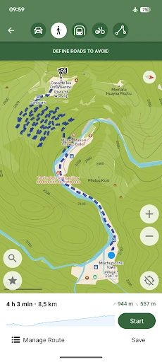
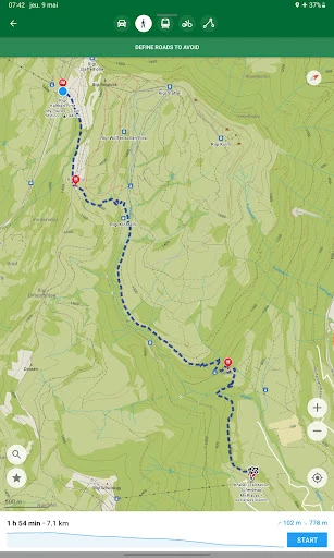
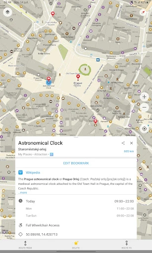
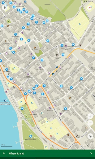
Click to download now, finish the installation quickly, and directly unlock the "all-round experience"
CoMaps - Navigate with Privacy emerges as a formidable, community-led alternative to the data-hungry giants of the navigation world. Built upon the robust foundation of OpenStreetMap, this application is a "Privacy-First" tool that champions transparency, offline utility, and non-profit ethics. In a landscape dominated by tracking and behavioral advertising, CoMaps offers a refreshing, ads-free experience that prioritizes user autonomy and device efficiency. It is a sophisticated solution for those who demand high-quality geospatial data without the cost of their personal privacy.
The design philosophy of CoMaps centers on functional simplicity and efficiency. By focusing on essential features that "just work," the UI avoids the cognitive load and visual clutter often found in mainstream competitors. The interface is optimized for speed and battery conservation, making it highly responsive even on mid-range hardware. With a "Simple and Polished" aesthetic and a dedicated Dark Mode, the app ensures high readability across various lighting conditions while maintaining a compact footprint on the device's internal storage.
While the app excels in core navigation, the next update could benefit from more robust real-time public transit alerts and an expanded library of voice guidance languages. Additionally, refining the UI transitions to be more fluid would bring the app closer to the high-end polish expected by mainstream users transitioning from commercial platforms.
CoMaps is the definitive choice for privacy advocates, outdoor enthusiasts, and travelers who require reliable navigation in data-scarce environments. It is specifically tailored for the FOSS (Free and Open Source Software) community and those who prefer a non-profit, community-driven tool over corporate software. If you value your privacy and need a map that works anywhere on earth regardless of signal, CoMaps is a mandatory install.