MarineTraffic - Ship Tracking
MarineTraffic Applications
Downloads
5,000,000+
Version
Latest
Advertisement
Click to download now, finish the installation quickly, and directly unlock the "all-round experience"
Advertisement
Screenshots
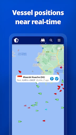
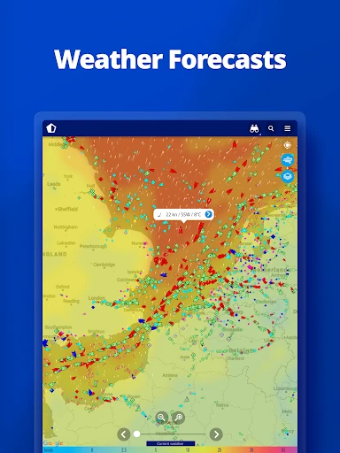
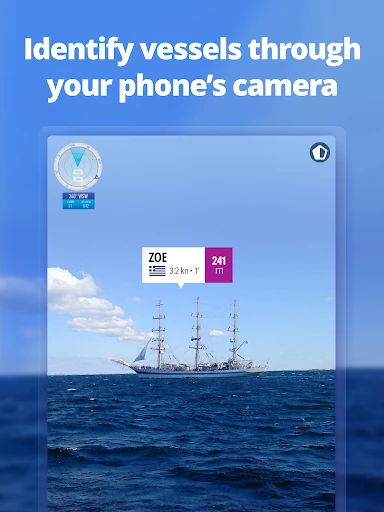
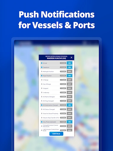
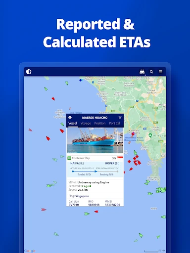

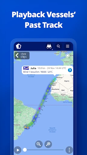
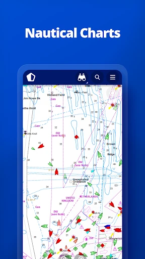
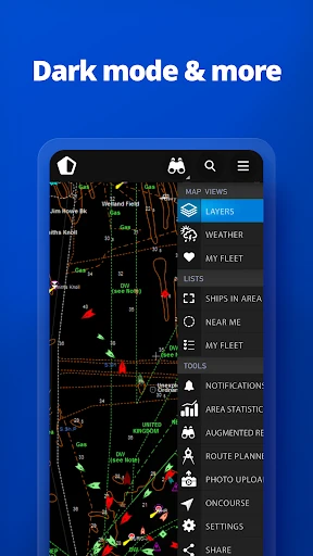
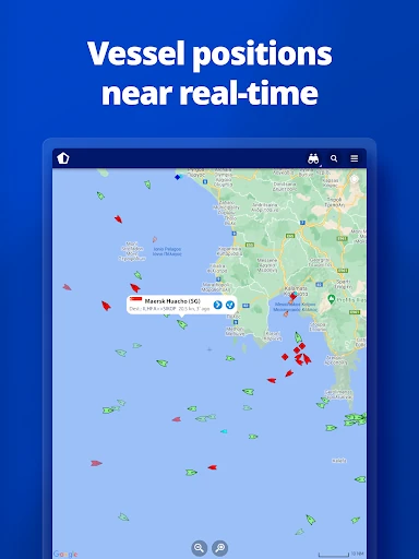
Click to download now, finish the installation quickly, and directly unlock the "all-round experience"
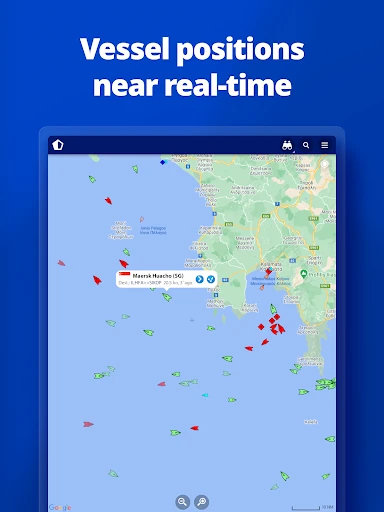
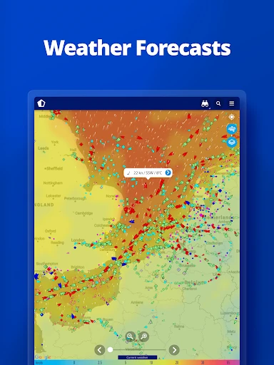
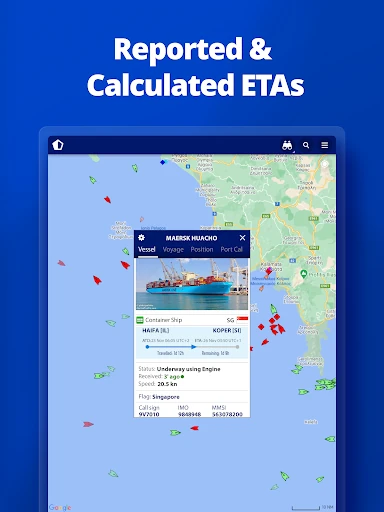
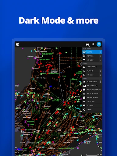
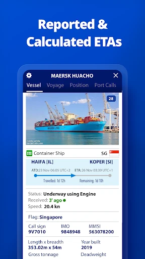
MarineTraffic - Ship Tracking stands as the industry standard within the Maps & Navigation landscape for maritime situational awareness. By leveraging the world's most extensive network of land-based AIS receivers, the app transforms complex maritime data into an accessible, real-time visual experience. It is a professional-grade tool that manages to remain intuitive enough for casual ship spotters, providing a level of transparency into global shipping lanes that was once reserved only for port authorities and commercial fleet managers.
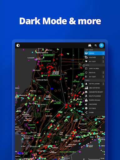
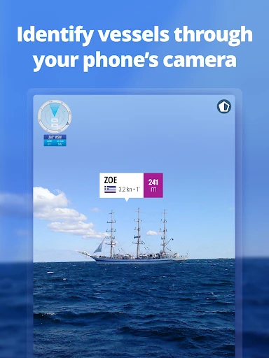
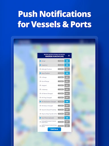
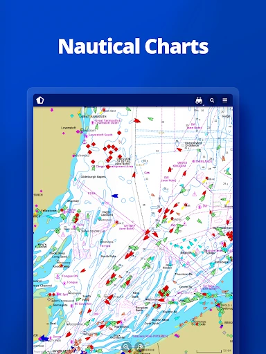
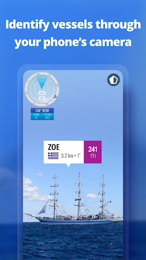
The UI is impressively robust, designed to handle high data density without compromising on performance. Adhering to the functional standards of the Maps & Navigation category, the interface uses familiar gestures and a clean map-centric layout. While the amount of information available can be overwhelming at first, the smart use of filters and the integration of a massive 4.5-million-photo gallery provide a rich, multi-layered experience. The AR tool is a particular UX highlight, offering a seamless bridge between digital data and the physical world.
The developers should consider improving offline capabilities, such as caching specific port data or map sectors for use in areas with poor maritime cellular coverage. Additionally, a more streamlined pricing model for the "Access Plus" satellite data would make the app more appealing to independent sailors who frequently venture beyond the range of land-based AIS stations.
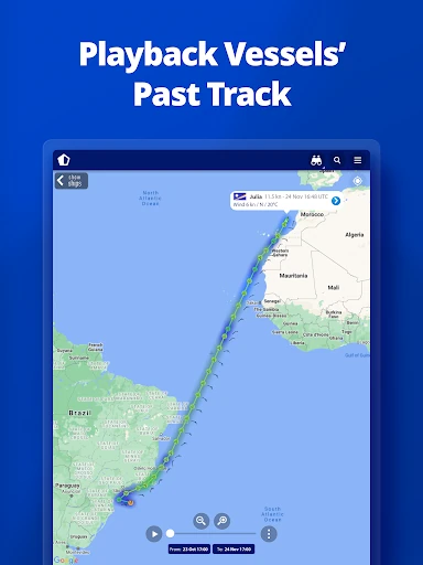
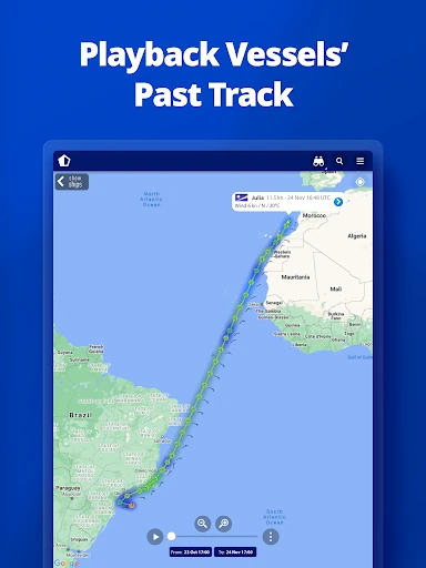
MarineTraffic - Ship Tracking is the definitive choice for maritime professionals, yacht owners, and naval enthusiasts. Its combination of real-time data, historical analysis, and innovative AR technology makes it an indispensable utility. If you are involved in maritime logistics or simply live by the coast and want to know more about the traffic on the horizon, this is the most comprehensive tool available on the Google Play store.