Advertisement
Click to download now, finish the installation quickly, and directly unlock the "all-round experience"
Advertisement
Screenshots
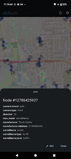
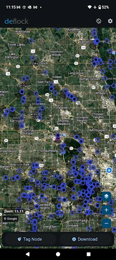
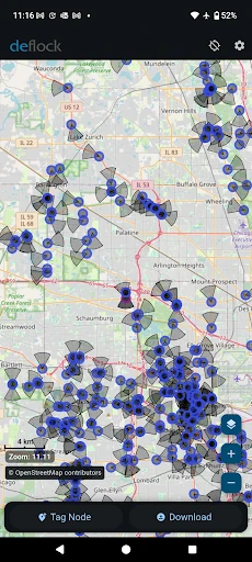
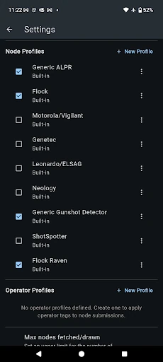
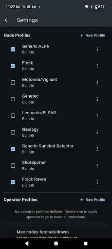
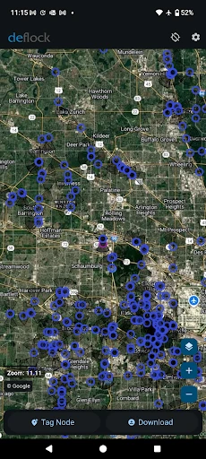
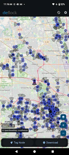
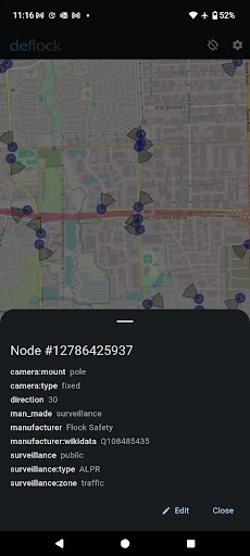
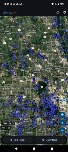
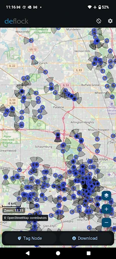
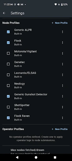
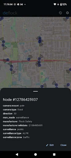
Click to download now, finish the installation quickly, and directly unlock the "all-round experience"
DeFlock.me emerges as a specialized and ethically driven entry in the Maps & Navigation landscape. While traditional navigation apps focus on getting users from point A to point B, DeFlock.me provides a "defensive mapping" layer designed to reveal the invisible infrastructure of modern surveillance. By identifying Automated License Plate Readers (ALPRs) and AI-powered cameras, it transforms the map from a simple routing tool into a transparency dashboard. Its professional utility lies in its crowdsourced accuracy and its uncompromising commitment to user anonymity, filling a vital niche for privacy-conscious citizens and civil liberties advocates.
In the Maps & Navigation category, utility and speed are paramount. DeFlock.me adopts a clean, utilitarian aesthetic that avoids the clutter of commercial navigation tools. The interface is designed for rapid identification and reporting, recognizing that users are often "on the move" when spotting hardware. While it lacks the high-gloss animations of big-budget apps, its minimalist UX ensures that the map remains the focal point, providing a low-friction experience for both researchers and casual users who need to verify their surroundings quickly.
To further empower its user base, DeFlock.me could benefit from an in-app "Field Guide" with photos and descriptions to help users accurately distinguish between different types of surveillance hardware. Additionally, implementing an offline-map caching feature would be a significant upgrade, allowing users to report and view data in areas with poor connectivity while further minimizing their digital footprint by reducing active data pings.
DeFlock.me is a must-have tool for privacy advocates, investigative journalists, and any citizen concerned with the rapid expansion of urban surveillance. It is not intended to replace your daily GPS for traffic updates, but rather to act as a powerful companion for situational awareness. We highly recommend this app for users who prioritize civil liberties and wish to take an active role in mapping the surveillance state.



![[69D] ARCADE UFO](https://img.theapklab.com/apps/com.sixty9design.arcadeufo/icon.webp)