Advertisement
Click to download now, finish the installation quickly, and directly unlock the "all-round experience"
Advertisement
Screenshots
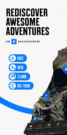
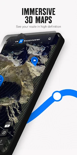
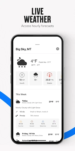
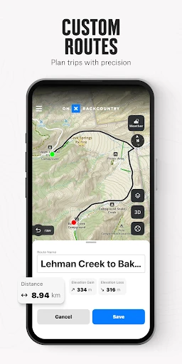
Click to download now, finish the installation quickly, and directly unlock the "all-round experience"
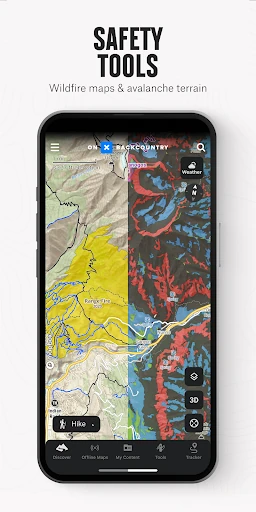
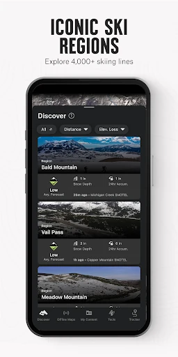
onX Backcountry Trail Maps GPS stands as a premier navigation powerhouse within the Sports category, specifically tailored for the serious outdoor enthusiast. Unlike generic mapping tools, this application provides a sophisticated, data-driven ecosystem that caters to the distinct needs of backcountry skiers, climbers, and hikers. By integrating high-fidelity topographic data with real-time hazard layers, it bridges the gap between traditional GPS hardware and the convenience of a smartphone. Its authoritative position in the market is cemented by its specialized data layers, such as ATES and SNOTEL, making it an essential companion for those venturing beyond the reach of cellular networks.
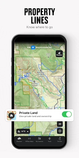
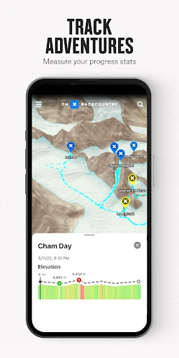
The UI of onX Backcountry is designed with a utilitarian focus, prioritizing high-contrast visibility and map readability which are essential for outdoor use under varying light conditions. The UX follows a logical hierarchy, using a mode-switching system to manage the vast amount of data without overwhelming the user. While the interface is feature-dense, the intuitive placement of tools like the "breadcrumb" tracker and waypoint markers ensures that the most critical functions are accessible even when wearing gloves or dealing with inclement weather. The transition between 2D topographic views and 3D terrain visualization is fluid, providing a modern feel that exceeds the standards expected for the Sports category.
To further enhance the user experience, onX Backcountry could benefit from deeper integration with wearable technology, such as native apps for Garmin or Apple Watch that provide haptic navigation alerts. Additionally, expanding the "Recent Imagery" feature to include more global regions beyond the U.S. would broaden its appeal to international explorers. Introducing a simplified "Lite" mode for casual users who do not require technical slope data would also make the app more accessible to a wider demographic within the Sports landscape.
onX Backcountry Trail Maps GPS is the definitive tool for serious backcountry athletes, including mountaineers, off-piste skiers, and long-distance backpackers who require precision and safety data. It is less of a casual fitness tracker and more of a professional-grade navigational instrument. For users who prioritize safety, detailed terrain analysis, and reliable offline performance, this app is an indispensable investment. It is highly recommended for anyone whose adventures take them off the grid and into technical terrain.